Mount Mia
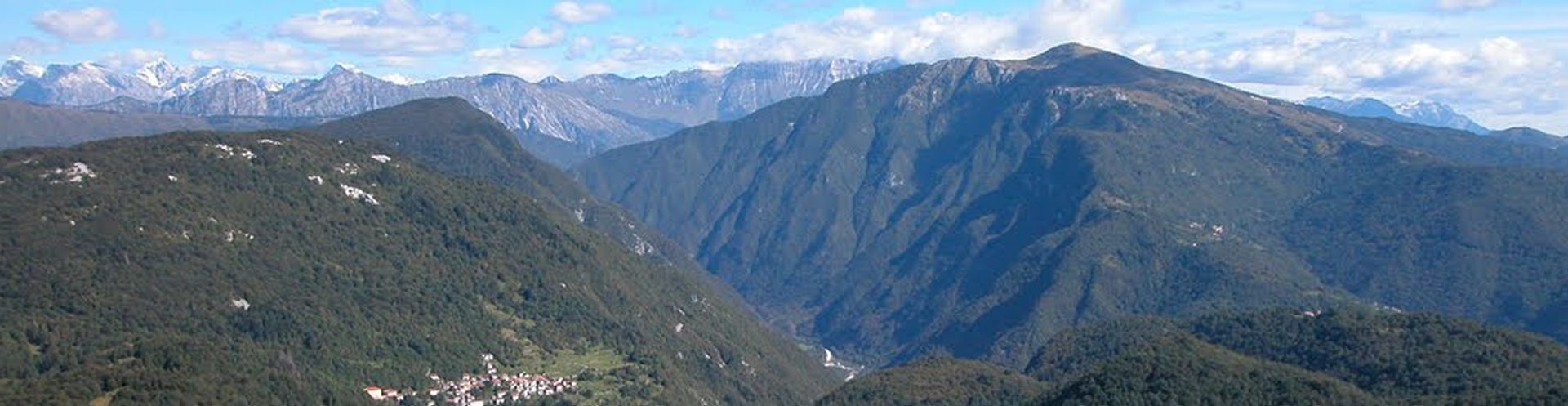
Mount Mia (1237 m) is a massive elevation which rises on the right bank of the Natisone at Stupizza valley.
The point of greatest elevation is in Italian territory but much of the northern slopes of the mountain are in Slovenia. It can be reached by the homonymous casera going up the beautiful beech forest summit. This mountain, for a long time forgotten, returns to be frequented by the work of naturalists Cooperative "Michele Gortani" of Udine, which restored some trails and also has placed along the route explanatory tables of geological phenomena, flora and fauna. The excursion period is particularly conducive to the observation of intense and varied spring flowering, especially favored by the microclimate of the valley. In the place of pasture, until the early '900, more than 250 people lived during the summer in wooden houses and straw and watched 1,500 head of cattle. Now the fields are gone, replaced by reforestation of spruce. The Pradolino mouth marks the ancient course of the Natisone, before changes in recent geological times taken for the ramblings of 'Isonzo.
ITINERARY
After parking the car at Stupizza (in the left bank of the Natisone) 203 m, cross the river on a bridge and enters the Pradolino Valley, walking across the lower stretch for about 30 minutes. Turn right, following the well-maintained trail to the hut "Monte Mia" 970 m. With clear skies you can see in the background of the Natisone valley, the Friuli plain to the sea. To reach the main summit is necessary to take the path (signs for Scrbina) that runs parallel to the border with Slovenia. From the top of Mount Mia 1237 m wide panoramic Monte Nero to the Carnic Alps. The descent, after the short return to the dairy for the same path diverges, turning to the northwest up to the Pradolino Mouth (red-blue stamps, signs Presunza). The trail that runs through the Valley Pradolino has great geological interest, showing a very interesting geological profile, left from the old course of the river Natisone.